Dr. Pamela Nagler is a Research Physical Scientist with the USGS Southwest Biological Science Center. She resides in Tucson, AZ.
My ecohydrology research in quantifying evapotranspiration rates in native and non-native riparian habitat for avian habitat restoration at Cibola National Wildlife Refuge.
What does ecohydrology mean to you?
As someone striving to improve estimates of riparian plant water use, but stationed among the hydrologists at the Arizona Water Science Center, I think of ecohydrology as combining above and below ground processes of the hydrologic cycle. Like many others, I think of ecohydrology as “interdisciplinary” research – where water investigations require input from multiple fields to advance our understanding of the greater system.
What are your undergraduate and graduate degrees in?
Geography, geography, geography! I have a B.S. in Geography from the University of Florida, an M.A. in Geography from the University of Maryland at College Park with a minor in Remote Sensing, and a Ph.D. in Soil, Water and Environmental Sciences from the University of Arizona, with a specialty in Remote Sensing for the Study of Planet Earth (College of Optical Sciences).
How did you arrive at working in/thinking about ecohydrology?
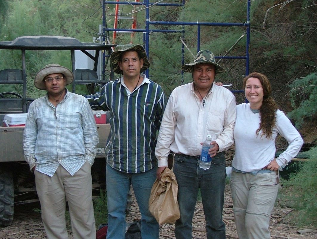
After my Ph.D. in Alfredo Huete’s Terrestrial Biophysical Lab, I was funded through a NASA grant awarded to Dr. Edward Glenn to find ways to scale ground-based ecophysiological measurements with remote sensing methods (empirical algorithm development) in the Colorado River delta in Mexico. With my mentor, Ed Glenn, I was engaged in additional ecohydrology research in Molokai, Hawaii and phytoremediation with the Navajo Nation near Monument Valley, in addition to the ongoing studies (estuary, wetland, riparian habitat conservation) in the delta and other dryland rivers in the Southwest. I have continued to work in the border region in collaboration with tribes, local, state, federal government, and non-profits agencies, and am on the Board for the U.S. Fish and Wildlife Service Sonoran Joint Venture. My research includes acquiring information on evapotranspiration rates at multiple scales for cottonwood and willow trees as well as saltcedar, arrowweed and other riparian plant species in the southwestern desert.
What do you see as an important emerging area of ecohydrology?
Ensuring long-term water sustainability for increasing human populations in the arid and semi-arid regions of the world is a common goal for water resource managers. Measuring evapotranspiration (ET) at watershed or river-reach scales, upland or urban areas is required to estimate how much water can be apportioned for human needs while maintaining healthy vegetation and habitat for wildlife. ET measurements are often made on local scales, but scaling up has been problematic due to spatial and temporal variability. There are challenges associated with handling temporal variability over complex natural-agro-climatic regions. For instance, crop/plant coefficients vary seasonally, particularly for riparian, upland vegetation, and urban greenery; traditional approaches of ET estimation commonly neglect the heterogeneity of microclimate, density, species, and phenology that have often led to gross overestimates of plant water use. There are now studies that estimate ET using both prognostic and diagnostic approaches from process-based models that rely on the integration of precipitation and soil-vegetation dynamics in addition to remote sensing data inputs. However, there are challenges in drought-prone areas and dryland ecosystems which remain targets for my interests!
Do you have a favorite ecohydrology paper? Describe/explain.
Wilcox, Bradford P. and others. 2017: Ecohydrology: Processes and Implications for Rangelands in Rangeland Systems by Springer. So, this has it all, because it is a book, not just one paper! This book covers key topics for dryland ecohydrology.
What do you do for fun (apart from ecohydrology)?
I like trees (and water) and so I take my children to our desert sky islands as often as possible. We just enjoyed (snow) sledding on Mount Lemmon! There are wonderful riparian areas tucked away with few people around, and we love getting our peace on year-round.
 RSS Feed